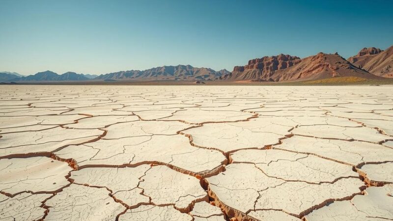
Ethiopia’s Afar region experiences earthquakes and volcanic activity due to its location along the Great Rift Valley, a geologically active zone. Recent tremors and historical volcanic eruptions indicate ongoing geological processes. Scientists advocate for monitoring and communication strategies to prepare communities for potential hazards.
In January, a series of earthquakes in Awash Fentale, Ethiopia, caused the evacuation of thousands from the region. Located in the Afar area of the Great Rift Valley, this geologically active zone has witnessed numerous volcanic eruptions and earthquakes over the past 800 years, with significant eruptions recorded in 1250 and 1820 AD.
The geological activity in Fentale is attributed to a long-term process that began millions of years ago, indicating a potential future continental split in the East African Rift Valley. According to geologist Gemechu Bedassa Teferi, the tremors are part of this ongoing geological evolution.
Rifts in the Afar region developed roughly 11 million years ago, with activity linked to the movement of molten rock from the Earth’s mantle. This semi-solid layer allows magma to rise through weak points in the crust, resulting in volcanic eruptions. Simultaneously, the ground’s movement creates rifts that cause seismic activity, perceived as earthquakes.
The Afar region ranks among the world’s most tectonically active sites, with the latest seismic activity not yet leading to volcanic eruptions. Over 200 earthquakes greater than magnitude 4 have occurred recently, with the strongest registering at 6 on the Richter scale, damaging local infrastructure and felt even in the capital, Addis Ababa, located approximately 190 km away.
Historically, the strongest earthquake in the region occurred in 1989, with a magnitude of 6.5, highlighting the potential for significant damage. The last recorded volcanic eruption in Fentale happened in 1820, raising concerns that recent seismic activity may precede eruptive events at neighboring volcanoes.
Recent satellite radar data suggest that hot magma is rising from as deep as 10 km beneath Awash Fentale, leading to three possible scenarios. The first scenario involves the magma cooling and solidifying. The second may involve an eruption as molten rock pushes to the surface. The third scenario could see the magma flowing laterally, potentially leading to either a cooling phase or a major volcanic eruption.
Given the dynamic geological environment, variables such as the temperature, viscosity of the molten rock, and surrounding rock strength will ultimately determine the course of events. Therefore, proactive measures for hazard prediction are essential.
Scientists emphasize the importance of monitoring techniques including volcanic gas analysis, GPS surveillance, and geophysical studies. Collaborative communication between scientists and government officials is necessary to engage with communities potentially at risk of volcanic activity and earthquakes in the region.
Ethiopia’s seismic and volcanic activities are rooted in complex geological processes originating from the East African Rift. Historical events highlight the region’s volatility, as seen in recent earthquake swarms, raising concerns about potential volcanic eruptions. Enhanced monitoring and collaboration between scientists and local authorities are vital for future hazard assessment and community safety.
Original Source: theconversation.com